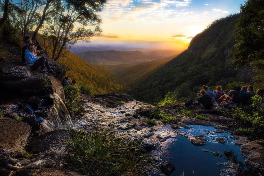
South east Queensland’s variable subtropical climate plays a critical role in the sort of vegetation that grows in Brisbane, along with the quality of the soils. Before the arrival of white settlers, most of the Brisbane region was covered in lush subtropical plant life.
A convict amongst the very first settlers said of the region that was to become Brisbane that ‘it looked as though some race of men had been here before us and planted a veritable Garden of Eden’.
Well, of course there had been little or no planting, but there were people there. It has been estimated that the Brisbane region was one of the most densely populated places in Aboriginal Australia before white settlement. By some estimates, there were 5,000 men, women and children in this Eden.
It seems this number of people were able to live without seriously damaging their supporting environment. They used over 200 types of plants for food, medical treatment, utensils and sometimes as an aid to catching something else. They used the sticky sap of Strangler Figs, for example, to trap small birds. The bark of some eucalypt trees was used to make baskets and roofs for shelter.
What is unusual about Brisbane’s Eden is that it is slap bang in the middle of an overlap of two biological regions, which has created a particularly rich and varied natural environment. It is known as the Macleay-McPherson Overlap, an area of exceptionally high biodiversity where the subtropical meets the temperate, or in technical terms, the northern Torresian and southern Bassian faunas and floras of Australia meet and overlap. This means the region has the richest fauna in Australia for birds, bats, amphibians and snakes, and a biodiversity otherwise found only in the Great Barrier Reef and the rainforests of the Wet Tropics in north Queensland.
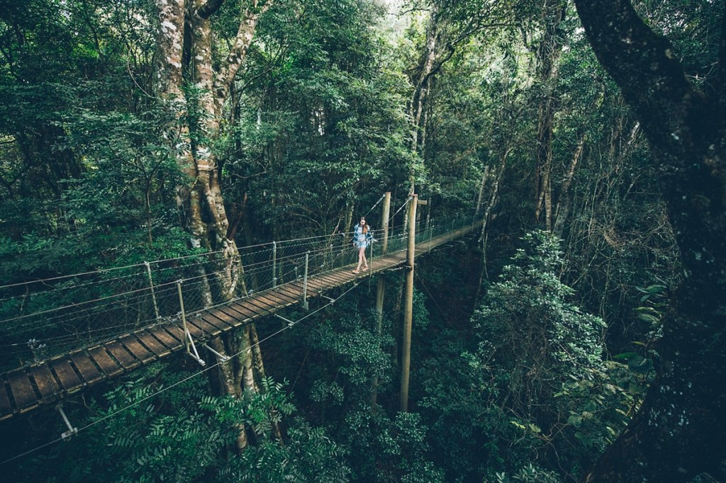
Of course there has been very substantial impact on the environment as modern Brisbane has grown. A government report calculates that the region has the second highest extinction rates in the world, with forty six species extinct. But like much else, there has been a change for the better in the past couple of decades or so when the rate of land clearing has slowed from the rapid pace in the fifteen years to 1989 when one third of remaining bushland was cleared.
About 86% of the land in the region is in private ownership. Fortunately, a hundred years ago there was some foresight on the need to preserve some of the wild places. Thirty-four years after the Americans created the world’s first national park – Yellowstone – Queensland started the process of creating the national parks in the Scenic Rim south of Brisbane. Now this area, made up of the Lamington, Springbrook, Main Range and Mount Barney national parks, is World Heritage listed.
And now, despite the pace and extent of land clearing firstly for farming and then suburban development, Brisbane has a high quality ring of national parks that show off the region’s rich and varied bushland. Within the city’s boundaries and not too far beyond there are still relatively untouched forests, bush and sea shores.
The natural places include the green mountains of the Great Dividing Range and the nearer McPherson, D’Aguilar, Darlington and Blackall Ranges where there are subtropical and temperate rainforests and most of the region’s wet and dry eucalypt forests.
Closer to the coast are the remaining dry eucalypt forests and woodlands; the quickly disappearing paperbark forests and diminishing heathlands. Along the coast there are salt marshes, mangroves and tidal mudflats. The sand islands of Moreton Bay, Moreton and North and South Stradbroke, are home to some plants and animals that are threatened or already extinct on the mainland.
Geology dictates what grows where. Three hundred million years ago Brisbane was under the ocean and Australia was still part of the super continent known as Gondwana in which all current continents resided before the ‘great continental drift’ started to wrench them apart.
The coast of south east Queensland was about 200 kilometres further west than where it now is. There were mountains just west of Dalby that eroded and the resulting sediments built up towards the Brisbane area. Then in a monumental geological upheaval this sediment was lifted up to create a great mountain range that after 250 million years of erosion is now the Great Dividing Range stretching all the way from Cape York to Tasmania and with the local stretch known as the D’Aguilar Range.
As part of the geological landscaping exercise about 240 million years ago molten granite rocks started to bubble towards the surface cooling and then stopping along the way. Erosion has seen some of them reach the surface at Samford and Kippera in the north west of Brisbane. Later there were violent volcanic eruptions that gave rise to Brisbane Tuff rock, so-called because it is extremely hard, that filled old stream channels flowing south. The old road heading north from Brisbane followed Tuff outcrops because they avoided routes that became too boggy to use in some rains.
Eruptions of Tuff were not like those of a very young volcano such as Vesuvius, where lava flows make their way down the slopes. Tuff eruptions were more shotgun-like, with rocks spat out from the volcano at great force that often saw them land up to 200 kilometres away.
About twenty five million years ago there were more gentle eruptions which resulted in Vesuvius-like gentle flows of lava covering wide tracts of the region with basalt. Some basalt-derived soils are evident still by the fertile land at Bald Hills and Nudgee.
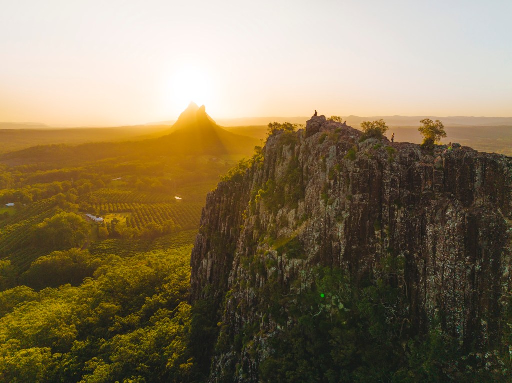
The Earth in southeast Queensland settled down a bit after that. Over the recent geological past, since about two million years ago, the land has been gouged by glaciers and the sea level has gone up and down as the world has coped with a series of Ice Ages. Geologists reckon there was a major interglacial period about 125,000 years ago when sea levels were five metres higher than they are now, during which clays and silts were deposited over wide areas of Brisbane’s coastal plains. Along with the climate, this geology determined the natural environment before human ancestors arrived on the scene, maybe 60,000 years ago.
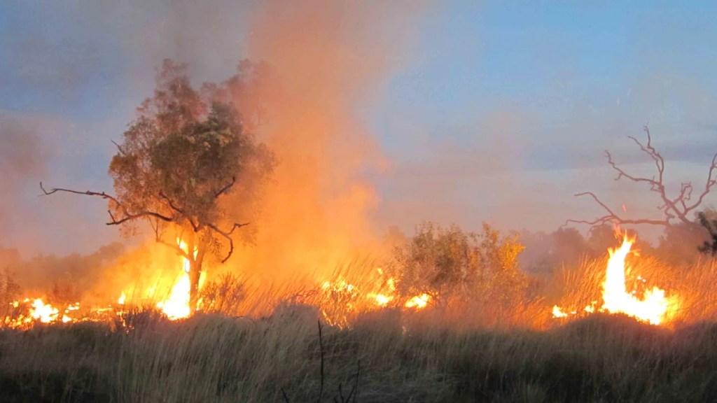
Nowadays Aborigines are seen as environment-friendly but their distant, first- footing ancestors had a devastating impact on the environment because of their way of hunting and especially their use of fire. A key hunting strategy was the use of the fire-stick. This was the periodic burning of the bush to first of all flush out animals and then, when the bush was recovering, attract others to the green shoots of recovering plants. This radically changed the bush and animals all over the country, including in the area that was to become known as Brisbane. It increased erosion and signed the death warrant for large animals such as the giant emu and giant kangaroo. Eventually all the remaining living creatures and plants adapted to this new reality and ecological stability was restored.
And it adapted with such success that Aborigines and their ancestors were able to maintain their lifestyle presumably pretty much unchanged for 50,000 years. Maybe this was because fire-stick management was not haphazard. Small patches of land were regularly set alight at the right time of day and year. As a result a patchwork of burned, recently burned and unburned bushland was established.
As well as the green patches of re-growth attracting animals and saving the legs of the hunters, fire also promoted growth of small herbaceous plants and increased fruiting in others. The unburned bush provided hiding for wildlife and quite possibly the occasional villainous Aborigine.
In 1829 visiting botanist Charles Frazer described the area to the northwest of Brisbane as a thinly wooded undulating plain with open grassland. This was typical of grassland that had survived and developed through the use of fire-sticks. More recent research suggests that when the Europeans arrived there were only a few small open wooded grassland areas like this. Most of the Brisbane region was woodland and forest. According to research by the Queensland Museum, when Europeans first ventured up the Brisbane River in the 1820s they saw imposing rain-forest-clad banks with dense growth of ferns, vines and towering trees. In the lowlands beyond the River, rainforests were more prevalent than they are now and stretched across much of the region. The absence of many open areas was the main reason why local Aborigines did not use spear throwers – woomeras – used in other parts of the country.
The European settlers changed all that, of course. They cleared large tracts of land for crops and grazing. They introduced exotic plants both by design and by accident as seed arrived in animal feed and packing materials. Many of these soon spread, beginning the degradation of the natural bush. George Batianoff and Don Butler, both scientists at the Queensland Herbarium, calculated that in the year 2000 there were 1,080 ‘naturalised exotic’ plants in Greater Brisbane (there are about 2,700 in Australia as a whole). Almost two thirds of these are found frequently and in some places are seen as a problem. About 60% of these plants in turn are regarded as weeds and about a third of these as serious problems. The most serious are some of the grasses and daisies.
Imported domestic animals – cattle, sheep, goats, horses and pigs – some of which went feral, also caused major problems. No animal native to Australia has hooves, and plants, especially native grasslands, are not adapted to the damage caused by them. One solution farmers tried with some success for their farms was to import and plant ‘improved’ pasture grasses and leguminous plants. However, these have also spread to natural areas and contributed to the decline of native grasses and herbs.
Some native animals have struggled to survive and some have become extinct since people stopped using the fire-stick to manage their bushland. Areas of bush have also been severely damaged by very hot fires that have thrived on unburnt undergrowth that once would have been controlled by regular fire-stick burning.
On the face of it one might suppose that since the end of fire-sticking the bush would recover to a close approximation of what is was like 60,000 years ago. However, this does not seem to be the case, as the imported plants and weeds seem better able to establish a foothold and thrive in those long-ago fire devastated areas.
Despite the high impact on the environment that European settlement had, the remaining rainforests of the Brisbane region, stretching into northern New South Wales, are second only to the Wet Tropics rainforests of northern Queensland in ecological significance. Most of the surviving rainforests are in the higher areas on deep, rich basaltic soils.
There are four types of rainforests in the region. Most common is sub-tropical seen at Mount Glorious, Tamborine and Lamington, and around Maleny in the north. These forests have massive trees often with buttressed roots and large leaves. Wiry vines twine around trunks and branches. There are ferns at ground level. Dry rainforests are found at Mount Mee, Lamington and Main Range, where the trees generally have smaller leaves than subtropical and no buttressing. Warm temperate rainforest is much less common in the region. It grows at higher altitudes and is seen on poorer soils at Lamington and Springbrook. There are only very small patches of cool temperate rainforest that are in the high rainfall areas of the McPherson ranges. In general, Brisbane is associated with eucalypts, of which there are over 30 species, and even very small areas of trees might have as many as eight different species.
Brisbane has one of the largest and most accessible forest reserves close to a major city as anywhere in the world. Brisbane Forest Park covers 28,500 hectares and stretches for 70 kilometres northwest from Mount Coot-tha. It was set up as late as 1977 under a single administration and now about two million people visit it each year. It has many steep sided valleys and gorges and a long, undulating north-south plateau. It must be the rugged nature of so much of it that prevented it being settled or cleared for farming in the early days of white settlement. But not all the Park is pristine bushland. Brisbane’s first fresh water storage in the Enoggera Reservoir was built in its foothills in the 1860s. Over the years two more reservoirs – at Gold Creek and Lake Manchester – were added. There has also been some tree felling and parts of it provided some very good timber for the city. One can see the impact of this at some of the lookout spots, particularly in the Mount Glorious area. There were also some attempts at gold mining in the Park and old workings can be seen in the Mount Coot-tha area. There was small scale farming in the Mount Nebo and Mount Glorious areas that led to the establishment of the two small villages of those names.
There are now eleven parks and reserves in the Brisbane metropolitan area and a similar number within 100 kilometres of the city centre.
The very rapid physical expansion of Brisbane slowed markedly in the early 1990s and there was more focus on in filling in some already-developed areas. Many apartments have been built in and close to the city. This means that while so much of the original Garden of Eden has been destroyed, the developed profile of Brisbane is now pretty much locked in place, though there are still environmental battles to be fought in the wider southeast Queensland region. For the most part our green spaces are likely to remain as they are now, though the increasing population will call for careful management.


Leave a Reply